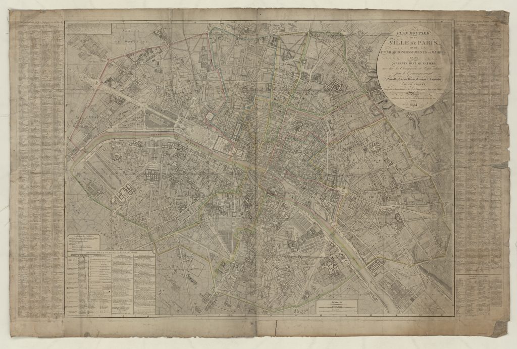
The Paris of 1840 was still a relatively compact urban centre surrounded by rural areas. In particular, the Left Bank of the Seine (to the South), which had belonged almost entirely to the clergy prior to the French Revolution, was not heavily built-up in Balzac’s time. Only in 1860 were the current city limits achieved, by administratively enlarge its boundaries to include nearby villages (Montmartre, Vaugirard, Passy, etc.), although these retained their rural character. Between 1840 and 1847, Balzac had to cross not only industrial zones but fields, vineyards, orchards and vegetable gardens to go from Passy to the present-day Place de la Concorde.

The various maps of Paris, regularly redrawn and updated throughout the 19th century, make it possible to assess the rapid expansion of the capital. On this map from 1826, the city limits appear clearly: on the Left Bank, south of the Champs de Mars, extended the plain of Grenelle, still open land (the present-day 15th arrondissement of Paris); to the west, the Place de l’Etoile also opened onto a rural area. Then, as now, the city itself, with its dense network of streets, was a pleasant place to stroll and offered a constant parade of city life.